 Sedona Vortex
Airport Mesa
- 3.5 miles loop
- 535 ft climb
- No pass needed
Parking right now · 7:36am
Likely plenty of spots
Our estimate for this hour, from how the lot usually fills. No hiker has reported in the last 90 minutes.
Today: Usually full by 4pm. Arrive before then.
At the lot? Report parking in the app ›A loop around the upper slopes of Airport Mesa with red rock views in every direction. The first mile is mostly level, then the trail climbs over basalt boulders on the south side of the mesa. There is almost no shade until the last mile.
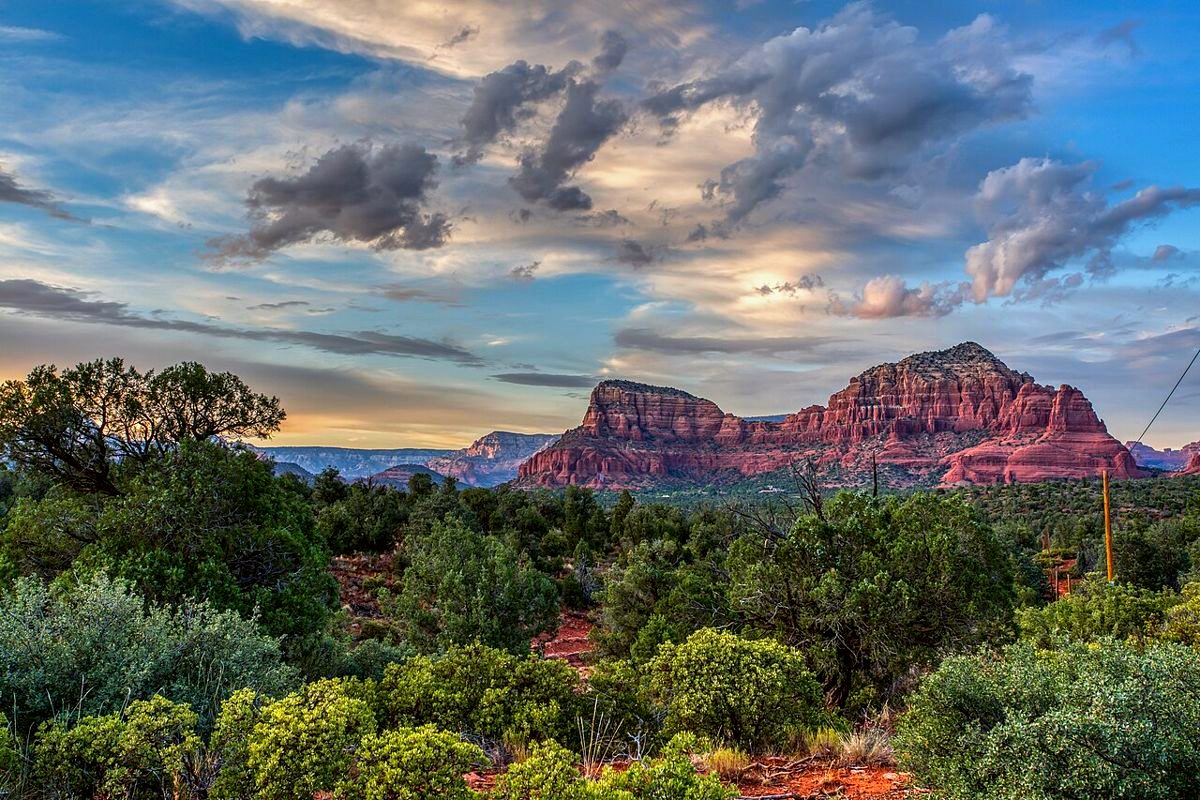
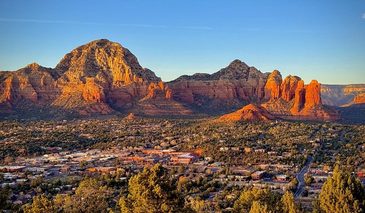


Below: where to park for the Airport Loop, which pass you need, when the lot usually fills.
Do you need a pass for Airport Mesa?
Free. No pass needed.
Where do you park for Airport Mesa?
When does the Airport Mesa lot fill up?
Weekdays: Usually has spots. Busiest around 5pm.
Saturdays: Usually full by 4pm. Arrive before then.
Typical patterns for November, not counting holidays. Parking right now, at the top of this page, adds reports from hikers.
How long is the Airport Loop?
Airport Loop, 3.5 miles loop, 535 ft of climbing.
This trailhead reaches the Airport Mesa vortex.
Other hikes from here
- Sedona View Trail, 0.7 miles one way
- Brewer Trail, 0.8 miles one way
Distances from Forest Service trail maps.
Parking right now, on your phone
Sedona Vortex shows how full Airport Mesa usually is at this hour, recent reports from hikers at the lot, the shuttle routes and an offline trail map. Free, with no account.

More Sedona trailheads
- Bell Rock
- Cathedral Rock
- Boynton Canyon
- Devil's Bridge (Dry Creek Vista)
- Soldier Pass
- West Fork (Call of the Canyon)
- Fay Canyon
- Bell Rock (Courthouse Vista)
- Little Horse (Chicken Point)
- Broken Arrow
- Hangover (Munds Wagon Trailhead)
- Long Canyon (Birthing Cave)
- Thunder Mountain (Chimney Rock)
- Mescal
- Doe & Bear Mountain
- Andante
- Sugarloaf
- Slide Rock State Park
- Red Rock State Park
- Grasshopper Point
- Crescent Moon (Red Rock Crossing)
- Raven Caves
- Wilson Mountain (Midgley Bridge)
Fees, gate hours and shuttle schedules change, so check the signs at the trailhead and sedonashuttle.com before you go.